This page is about Ethiopia’s landscapes: highlands, lakes, rivers and lowlands. For the animals and plants, see wildlife and vegetation. For climate, see geography and climate.
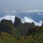
Ethiopia is one of the highest countries in Africa. Most of it is a broad plateau of ancient volcanic rock, split in two by the Great Rift Valley, and the plateau is cut by deep gorges and crowned by mountain ranges. The result is a country where you can stand above 4,000 metres in the morning and be in a hot lowland basin by the evening.
The highlands
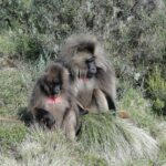
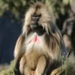
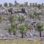
The northern highlands include the Simien Mountains, whose jagged cliffs drop more than a kilometre. Ras Dejen, at about 4,550 metres, is the highest peak in Ethiopia. In the south, the Bale Mountains rise to a high plateau of moorland and lakes, crossed by a road at about 4,000 metres.
The Rift Valley and its lakes
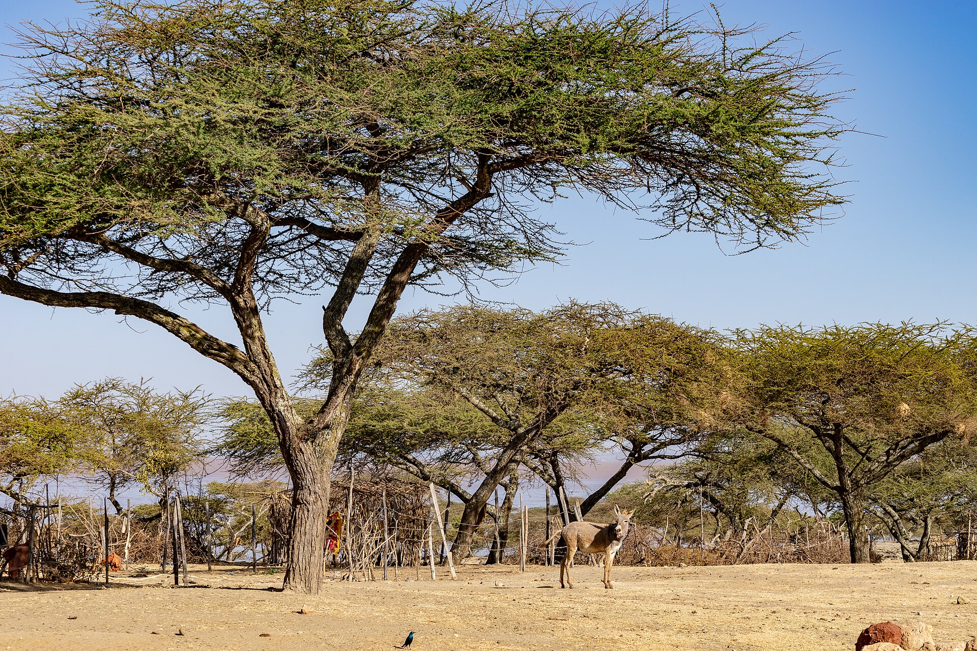
The Great Rift Valley runs through the middle of the country and holds a chain of lakes. Lake Langano is popular for weekend breaks, Bishoftu has crater lakes close to Addis Ababa, Hawassa is a lake city, and Arba Minch overlooks lakes Abaya and Chamo. Hot springs bubble up in several places, such as Sodere.
Rivers and waterfalls
The Blue Nile, called the Abay in Ethiopia, begins at Lake Tana, the largest lake in the country, and flows through a deep gorge before it reaches Sudan. The Blue Nile Falls lie only a short way downstream. The Awash River crosses the Rift Valley and ends in a salt lake on the border with Djibouti. See Bahir Dar and Lake Tana and Awash National Park.
The lowlands and the Danakil
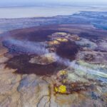
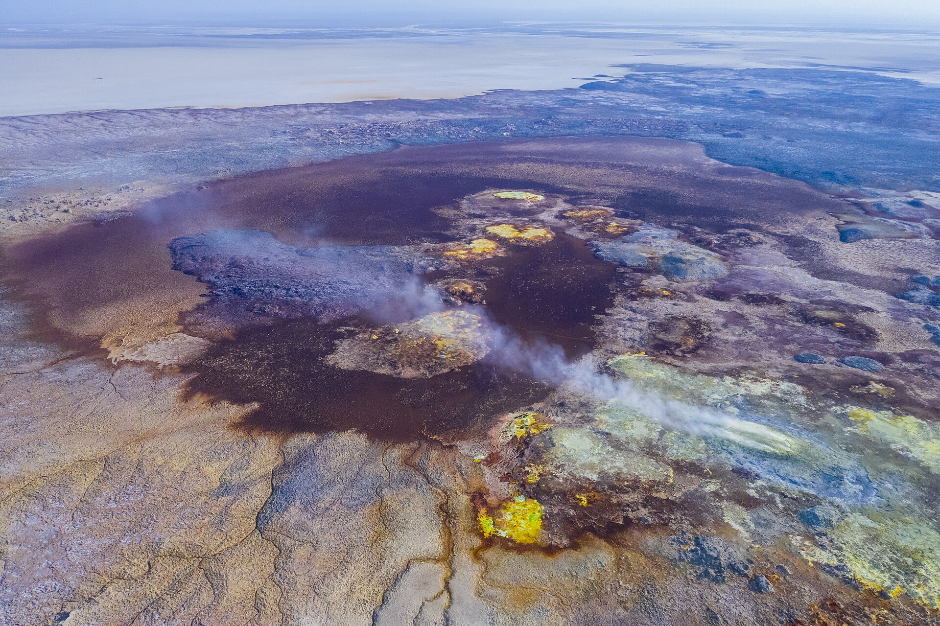
In the north-east, the Danakil Depression lies below sea level and is one of the hottest places on earth. It holds salt flats, bright mineral springs and active volcanoes. The south-west has the green valley of the Omo, and the east has the caves of Sof Omar.
Where to start
If you have a short trip, combine the capital with the Rift Valley lakes. For a longer trip, add the northern highlands or the Bale Mountains. See attractions for the full list by region and the national parks for the protected areas.