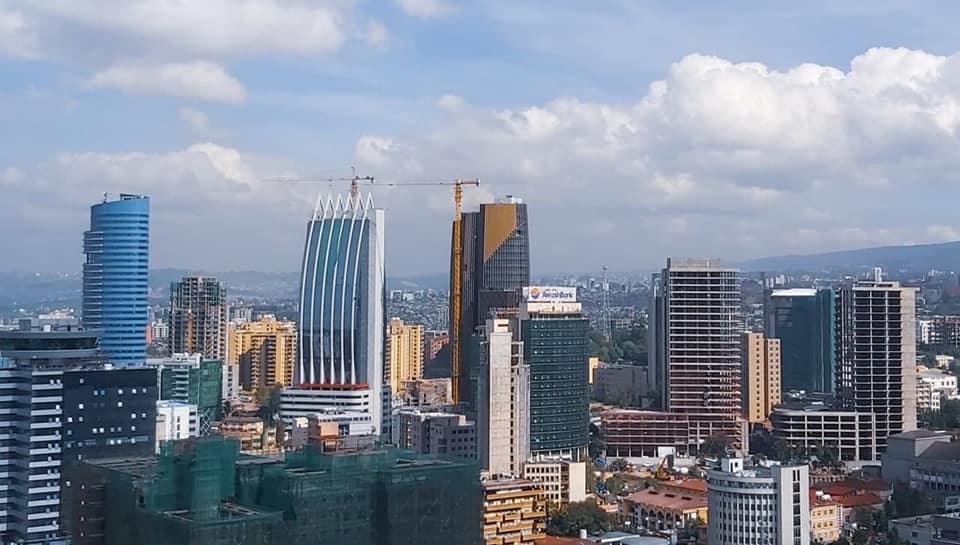
Ethiopia is a country of high ground. Most of it is a vast plateau cut in two by the Great Rift Valley, with mountains above 4,000 metres in the north and south, a chain of lakes in the rift, and a hot, dry lowland in the east and north-east. The capital, Addis Ababa, stands at about 2,355 metres.
Maps and regions
- Ethiopian map shows the regions and main towns.
Weather and the best time to go
- Climate and seasons, Ethiopian seasons and when to visit. In general the long rains fall from June to September, and the dry months from October to May suit most trips.
Landscapes
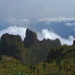
- Highlands. The Simien Mountains in the north and the Bale Mountains in the south have peaks above 4,000 metres.
- Rift Valley lakes. Lake Langano, Bishoftu, Hawassa and Arba Minch.
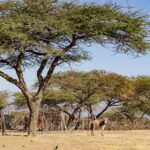
- Lowlands. The Danakil Depression is one of the hottest and lowest places on earth. Awash National Park is a savanna park in the rift.
- Rivers and falls. The Blue Nile Falls and Lake Tana.
Plants and animals
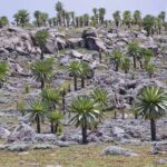
- Nature, wildlife and vegetation, and the national parks.
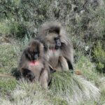
- Ethiopia’s endemic animals covers the wolf, gelada and walia ibex.